


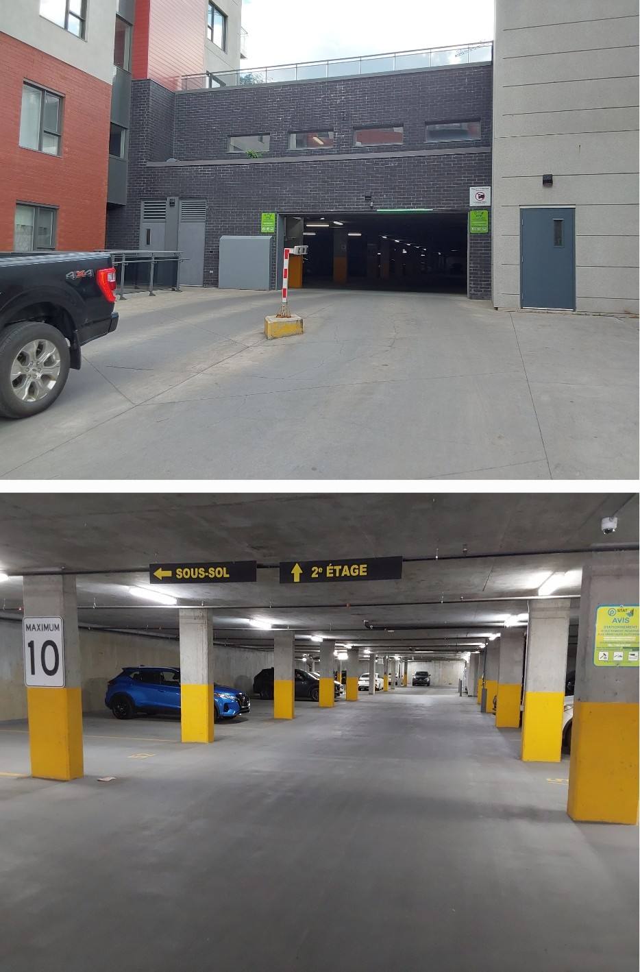
Condominium · Parking
Condominium parking: survey and line marking
Laval
About 450 parking stalls
Topographic survey and new stall layout during the membrane rehabilitation.
Good civil design starts with reliable field data. We coordinate the surveys needed for design with our specialized partners: you have one point of contact, from field survey to plans.
A drainage plan, a grading plan or an assessment is only as good as the grades it is based on. Surveys provide the actual ground elevations, the existing slopes and the position of structures (catch basins, pipes, manholes) before anything is designed.
Topographic surveys are carried out by our specialized partners, according to what the design or the assessment requires. We define the data to collect so that it serves the mandate directly.
Data collected
For larger sites or sites that are hard to access, drone surveys give an overview of the ground and of the flow paths. They are carried out by specialized partners, then integrated into our analysis and our plans.
You do not have to coordinate several parties yourself: we define the need, coordinate the surveys with our partners, analyze the data and produce the assessment or the plans. Information goes directly from the people who measure to the people who design.
Condominium · Parking
Laval
About 450 parking stalls
Topographic survey and new stall layout during the membrane rehabilitation.
Tell us what you need to design or understand: we will define the useful surveys and coordinate them for you.